How Directional Drilling Works in Baton Rouge Ground
The bluff line: terrace above, bottoms below
The Capital Region's geology is a one-sentence map with project-deciding consequences: Pleistocene terraces east and north of the bluff, Mississippi alluvium west and south of it. Terrace ground — the capital, Livingston, the Felicianas' rolling hills — is older, stiffer silt and clay that stands in a pit, holds a profile, and drills with conventional Gulf South manners. Bottoms ground — the levee front, West Baton Rouge, Iberville, the Pointe Coupee flats — is the river's young work: soft, saturated, buoyant, engineered-pit territory with the full ballast program. The two grounds meet at a line you can see from the interstate, and pricing an alignment starts with which side it's on.
Plant country: the corridor's rules
The chemical corridor is the region's defining workplace, and its rules are the trade's local curriculum: facility safety programs governing every hour inside the fence, pipeline densities that put operator coordination on most corridor alignments, rail serve with its own windows, and the mainline levees fronting it all under district and federal review. None of it is an obstacle; all of it is scope — named at the desk, coordinated in advance, and priced plainly. The contractors who thrive in plant country are the ones whose quotes already contain it.
The sequence, capital edition
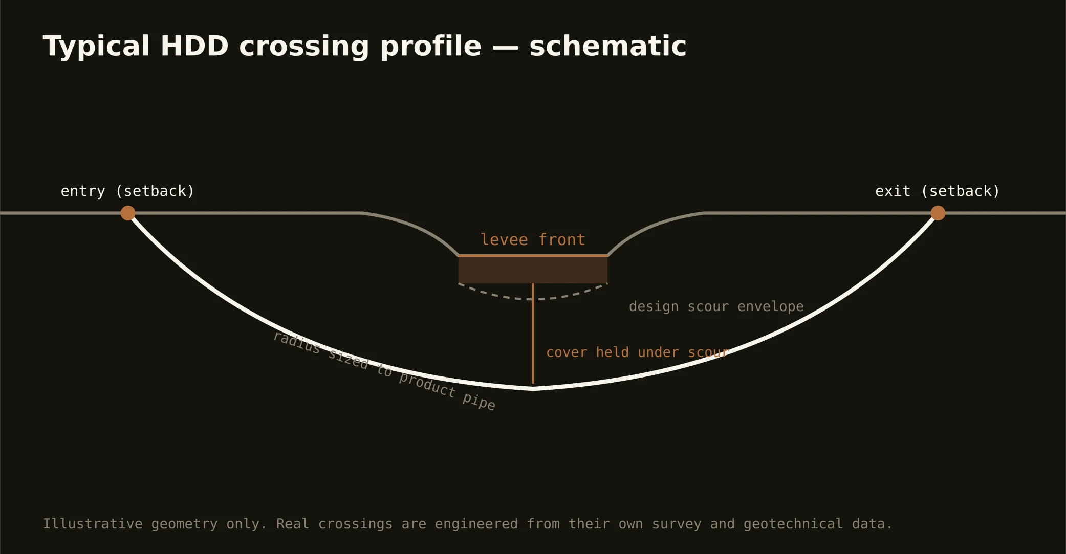
The bones are standard — locates plus private designating, potholes on every claimed utility, pilot on profile, ream to about one and a half times the product, pull, restore. Capital Region bends: pit engineering by reach — conventional on the terrace, shored and pumped in the bottoms; hurricane-season staging awareness; flood-program coordination in the Amite basin; corridor safety protocols where plant country applies; and clean-fluid practice everywhere over the aquifer the capital rightly brags about.
Who owns what you're crossing
The city-parish runs the capital's single counter; the other nine parishes run their own public works; municipalities govern their streets; DOTD permits the state system and the interstates. The levee districts review the river front with federal flood-control interest behind them; drainage authorities and the flood program govern the Amite basin's crossings; pipeline operators and plant owners govern the corridor's private ground; railroads permit their serve. The quote names every owner on your alignment — in plant country, the list is the project plan.
Straight answers
Will you hit rock on my bore?
No — neither side of the bluff stocks rock at utility depth, and that's the region's honest drilling gift. The real cautions split by reach: buoyancy and engineered pits in the bottoms, and on the terrace side mostly good manners in stiff silts. The quote prices the actual side of the line, which is the whole local skill.
How deep do bores run under Baton Rouge streets?
Cover follows the owning authority's standard and sits below everything potholed on the alignment — with levee-front and basin crossings running to the administering district's criteria, which govern absolutely. The bore plan states your number and your ground before mobilization.
Did the 2016 flood change how crossings work here?
It changed the region's drainage seriousness permanently: the Amite basin's control program, drainage-authority review, and floodplain administration now ride eastern-parish work as standing coordination, and schedules respect flood stages the way the corridor respects river stages. Our quotes carry that reality as scope, because here it is.
Ready to put a number on a real crossing? Send the scope — a person prices it.