River Levee & Industrial-Corridor Crossings
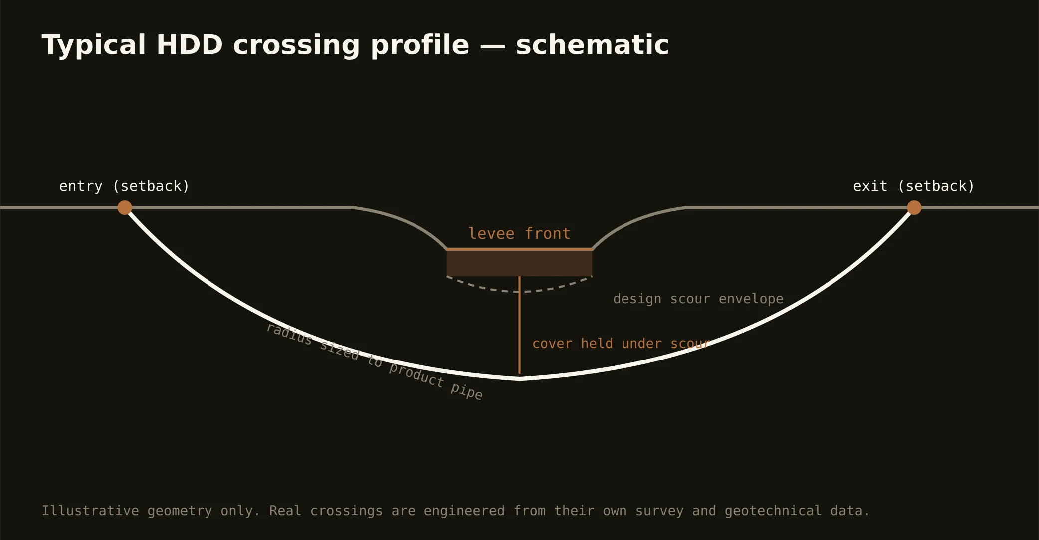
The Capital Region's signature crossings live where its water is engineered. On the river side: the mainline Mississippi levees fronting the chemical corridor, whose crossings and near-work run on the levee districts' engineering review with the federal flood-control interest standing behind every foot of the system — profiles set clear of the levee prism, cover and setbacks to the district's criteria, and calendars that respect high-water season, when the river against the levee changes what's prudent. Batture and dock-serving work adds navigation and port interests on the working bank.
On the basin side: the Amite and its tributaries — the Comite, the region's flood-famous drainage — where the 2016 flood turned crossing work into flood-program work. The basin's ongoing control projects, drainage authorities, and floodway rules join alignments across the eastern parishes, and our quotes carry that coordination as the standing item it now is.
Technically, both worlds concentrate the region's two-ground story: levee-front crossings drill the bottoms' soft alluvium with the full buoyancy-and-containment program, basin crossings ride the terrace's firmer silts with flood-stage scheduling, and fluid discipline runs tight everywhere — a return against a levee or into a drainage channel is an incident with a district letterhead. Containment both banks, conservative pressures, and the response plan written before the pilot turns.